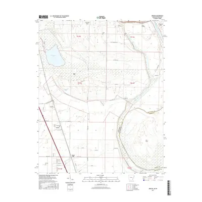
2017 Map of Jericho
USGS Topo · Published 2017About this map
The Mississippi River forms the eastern boundary of this Arkansas-Tennessee border region, carving a landscape defined by chutes and islands like Brandywine Island and Beef Island. The interior of Crittenden County is dominated by the sprawling wetlands of Wapanocca Lake and the drainage of Fifteenmile Bayou. Small agricultural communities and family-named ridges, such as Jericho and Pecan Ridge, dot the lowlands between the waterways. Local history is preserved in numerous rural burial grounds, including Malone Cem and New Mount Zion Cem, which reflect the area's long-standing settlement patterns. The infrastructure of the early 21st century is represented by the Turrell Flying Service Airport and a network of rural roads such as W Clarkedale Rd and Pirani Headquarters Rd, which navigate the complex alluvial terrain of the Mississippi Delta.
Find a feature on this map
50 named features on this map. Tap any name to fly to it.
Don’t see what you’re looking for? This feature index may not catch every label — zoom into the map to look around manually.
Map Details
Editions of this 2017 Jericho Map
This is the sole edition of this map. No revisions or reprints were ever made.
Other maps of this area

1916 · Memphis
USGS Topo · 1:62,500

1925 · Memphis
USGS Topo · 1:48,000

1927 · Memphis
USGS Topo · 1:62,500

1931 · Jericho
USGS Topo · 1:62,500

1939 · Jericho
USGS Topo · 1:62,500

1939 · Edmondson
USGS Topo · 1:62,500

1939 · Memphis
USGS Topo · 1:62,500

1940 · Deckerville
USGS Topo · 1:62,500

1952 · Jericho
USGS Topo · 1:62,500

1953 · Memphis
USGS Topo · 1:250,000