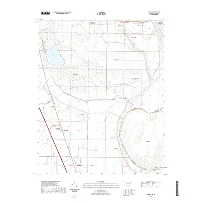
2020 Map of Jericho
USGS Topo · Published 2020About this map
The delta lowlands of Crittenden County are defined by the winding course of the Arkansas and Tennessee state line as it follows the Mississippi River Levee. In this alluvial landscape, the community of Jericho is surrounded by agricultural tracts and small settlements like Clarkedale, Pecan Ridge, and James Mill. The hydrology is dominated by the sprawling Wapanocca Lake and its associated Wapanocca Bayou, which drain the northern sections near the Turrell Flying Service Airport.
Find a feature on this map
57 named features on this map. Tap any name to fly to it.
Don’t see what you’re looking for? This feature index may not catch every label — zoom into the map to look around manually.
Map Details
Editions of this 2020 Jericho Map
This is the sole edition of this map. No revisions or reprints were ever made.
Other maps of this area

1916 · Memphis
USGS Topo · 1:62,500

1925 · Memphis
USGS Topo · 1:48,000

1927 · Memphis
USGS Topo · 1:62,500

1931 · Jericho
USGS Topo · 1:62,500

1939 · Jericho
USGS Topo · 1:62,500

1939 · Edmondson
USGS Topo · 1:62,500

1939 · Memphis
USGS Topo · 1:62,500

1940 · Deckerville
USGS Topo · 1:62,500

1952 · Jericho
USGS Topo · 1:62,500

1953 · Memphis
USGS Topo · 1:250,000