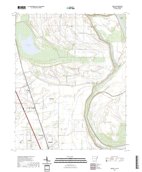
2024 Map of Jericho
USGS Topo · Published 2024About this map
Wapanocca National Wildlife Refuge dominates the northern landscape of this quadrangle, preserving a vast swampy environment centered around Wapanocca Lake. This area of eastern Arkansas is defined by its relationship with the water, as the Mississippi River Levee snakes along the eastern boundary near Brandywine Island and Beef Island. The flat delta terrain is marked by a network of drainage features like Wapanocca Bayou and Fifteenmile Bayou, which weave between agricultural tracts and the raised elevation of Pecan Ridge.
Find a feature on this map
61 named features on this map. Tap any name to fly to it.
Don’t see what you’re looking for? This feature index may not catch every label — zoom into the map to look around manually.
Map Details
Editions of this 2024 Jericho Map
This is the sole edition of this map. No revisions or reprints were ever made.
Other maps of this area

1916 · Memphis
USGS Topo · 1:62,500

1925 · Memphis
USGS Topo · 1:48,000

1927 · Memphis
USGS Topo · 1:62,500

1931 · Jericho
USGS Topo · 1:62,500

1939 · Jericho
USGS Topo · 1:62,500

1939 · Edmondson
USGS Topo · 1:62,500

1939 · Memphis
USGS Topo · 1:62,500

1940 · Deckerville
USGS Topo · 1:62,500

1952 · Jericho
USGS Topo · 1:62,500

1953 · Memphis
USGS Topo · 1:250,000