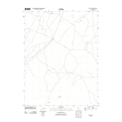
2010 Map of Jericho
USGS Topo · Published 2010About this map
Jericho and Jericho Junction anchor this remote high-desert crossroads within the broad expanse of the Tintic Valley. The landscape is defined by the stark transition from the alluvial flats to the rugged north-facing slopes of the Gilson Mountains at the southern boundary. Transportation in this arid corridor relies on the path of the Jericho Callao Rd, which traverses the valley floor alongside drainage features like Tanner Creek and the outlet of Wash Canyon. This survey captures the rural infrastructure of western Juab County, showing a network of tracks and routes that evolved to support ranching and transit through the desert basins between Utah's prominent mountain ranges.
Find a feature on this map
7 named features on this map. Tap any name to fly to it.
Don’t see what you’re looking for? This feature index may not catch every label — zoom into the map to look around manually.
Map Details
Editions of this 2010 Jericho Map
This is the sole edition of this map. No revisions or reprints were ever made.
Other maps of this area

1885 · Sevier Desert
USGS Topo · 1:250,000

1953 · Delta
USGS Topo · 1:250,000

1954 · Mc Intyre
USGS Topo · 1:24,000

1954 · Tintic Mountain
USGS Topo · 1:24,000

1958 · Delta
USGS Topo · 1:250,000

1962 · Delta
USGS Topo · 1:250,000

1962 · Lynndyl
USGS Topo · 1:62,500

1963 · Maple Peak
USGS Topo · 1:24,000

1967 · Champlin Peak
USGS Topo · 1:24,000
1967 · Furner Ridge
USGS Topo · 1:24,000