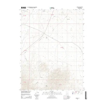
2014 Map of Jericho
USGS Topo · Published 2014About this map
Jericho occupies the northern reaches of this landscape, situated where the open expanse of the Tintic Valley meets the high elevations of the Gilson Mountains. The terrain transition is marked by deep incisions like Riley Canyon and Wash Canyon, while ephemeral water sources such as Tanner Creek define the drainage patterns of the valley floor. Transportation history is etched into the desert by Old Highway 50, which cuts diagonally across the valley, bypassing the rugged interior of the range.
Find a feature on this map
19 named features on this map. Tap any name to fly to it.
Don’t see what you’re looking for? This feature index may not catch every label — zoom into the map to look around manually.
Map Details
Editions of this 2014 Jericho Map
This is the sole edition of this map. No revisions or reprints were ever made.
Other maps of this area

1885 · Sevier Desert
USGS Topo · 1:250,000

1953 · Delta
USGS Topo · 1:250,000

1954 · Mc Intyre
USGS Topo · 1:24,000

1954 · Tintic Mountain
USGS Topo · 1:24,000

1958 · Delta
USGS Topo · 1:250,000

1962 · Delta
USGS Topo · 1:250,000

1962 · Lynndyl
USGS Topo · 1:62,500

1963 · Maple Peak
USGS Topo · 1:24,000

1967 · Champlin Peak
USGS Topo · 1:24,000
1967 · Furner Ridge
USGS Topo · 1:24,000