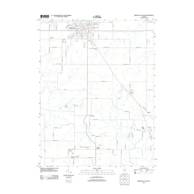
2012 Map of Jerseyville South
USGS Topo · Published 2012About this map
Jerseyville anchors the northern edge of this Illinois landscape, where the southern residential streets give way to a network of creeks and small farming settlements. The map highlights a series of rural communities including McClusky, East Newbern, and Delhi, connected by long straight roads that traverse the drainage basins of Otter Cr and Phils Cr. The presence of numerous family and community burial grounds, such as Lamb Memorial Cem and Lurton Cem, provides a detailed record of the area's local heritage and genealogical history.
Find a feature on this map
103 named features on this map. Tap any name to fly to it.
Don’t see what you’re looking for? This feature index may not catch every label — zoom into the map to look around manually.
Map Details
Editions of this 2012 Jerseyville South Map
This is the sole edition of this map. No revisions or reprints were ever made.
Other maps of this area

1925 · Brighton
USGS Topo · 1:62,500

1927 · Alton
USGS Topo · 1:62,500

1927 · St. Charles
USGS Topo · 1:62,500

1928 · Brighton
USGS Topo · 1:62,500

1930 · Jerseyville
USGS Topo · 1:62,500

1933 · Jerseyville
USGS Topo · 1:62,500

1933 · Saint Charles
USGS Topo · 1:62,500

1934 · Alton
USGS Topo · 1:62,500

1948 · Quincy
USGS Topo · 1:250,000
1948 · Alton
USGS Topo · 1:24,000