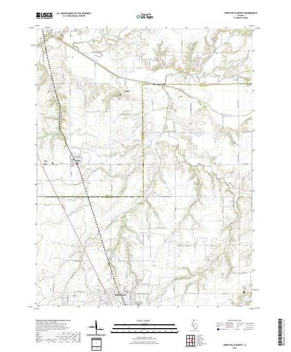
2024 Map of Jerseyville South
USGS Topo · Published 2024About this map
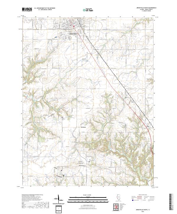
Jerseyville serves as the focal point of this Illinois landscape, dominated at its center by the Jersey County Courthouse. The town’s street grid, featuring names like W Hickory St and E Prairie St, gives way to a sprawling rural layout defined by agricultural tracts and a series of small, distinct aviation facilities including Jerseyville Aviation Inc and Raymond Airport. This area is characterized by its numerous small burial grounds and scattered hamlets that speak to a deep-rooted local history.
Find a feature on this map
66 named features on this map. Tap any name to fly to it.
Don’t see what you’re looking for? This feature index may not catch every label — zoom into the map to look around manually.
Map Details
Editions of this 2024 Jerseyville South Map
This is the sole edition of this map. No revisions or reprints were ever made.
Historical Maps of East Newbern Through Time
6 maps found