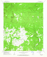
1962 Map of Jerusalem
USGS Topo · Published 1963About this map
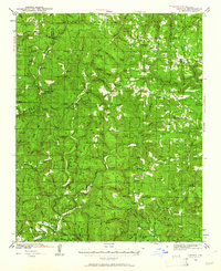
Ozark National Forest dominates the northern half of this landscape, where the high ridges of Evans Mountain and Stoebuck Mtn overlook the winding Brock Creek. This 1962 survey captures a rural Arkansas interior defined by isolated mountain settlements and family-named landmarks. The village of Jerusalem serves as the central hub, surrounded by a network of small churches and family burial grounds like Thompson Chapel and Wiley Cem.
Find a feature on this map
41 named features on this map. Tap any name to fly to it.
Don’t see what you’re looking for? This feature index may not catch every label — zoom into the map to look around manually.
Map Details
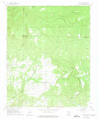
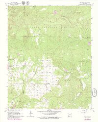
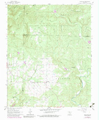
Editions of this 1962 Jerusalem Map
4 editions found
Other maps of this area

1879 · Washington
USGS Topo · 1:62,500

1887 · Smyrna
USGS Topo · 1:62,500

1889 · Marshall #3
USGS Topo · 1:62,500

1892 · Marshall
USGS Topo · 1:125,000

1892 · Morrillton
USGS Topo · 1:125,000

1894 · Morrillton
USGS Topo · 1:125,000

1894 · Marshall
USGS Topo · 1:125,000

1901 · Marshall
USGS Topo · 1:125,000
1940 · Smyrna
USGS Topo · 1:62,500

1943 · Smyrna
USGS Topo · 1:62,500