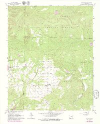
1962 Map of Jerusalem
USGS Topo · Published 1979About this map
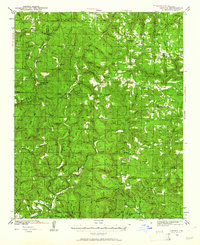
Jerusalem and Appleton anchor this 1962 landscape in north-central Arkansas, situated along a complex network of creeks where the boundaries of Pope, Van Buren, and Conway Counties meet. The rugged topography of the Ozark National Forest dominates the northern half, characterized by high points like Evans Mountain and Kincannon Mountain. The presence of the Jerusalem Gas Field in the southern sector highlights the mid-century energy development that helped shape the local economy.
Find a feature on this map
49 named features on this map. Tap any name to fly to it.
Don’t see what you’re looking for? This feature index may not catch every label — zoom into the map to look around manually.
Map Details
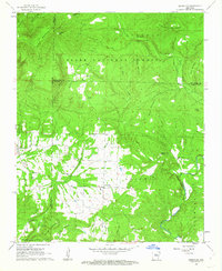
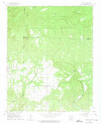
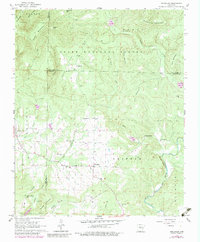
Editions of this 1962 Jerusalem Map
4 editions found
Other maps of this area

1879 · Washington
USGS Topo · 1:62,500

1887 · Smyrna
USGS Topo · 1:62,500

1889 · Marshall #3
USGS Topo · 1:62,500

1892 · Marshall
USGS Topo · 1:125,000

1892 · Morrillton
USGS Topo · 1:125,000

1894 · Morrillton
USGS Topo · 1:125,000

1894 · Marshall
USGS Topo · 1:125,000

1901 · Marshall
USGS Topo · 1:125,000
1940 · Smyrna
USGS Topo · 1:62,500

1943 · Smyrna
USGS Topo · 1:62,500