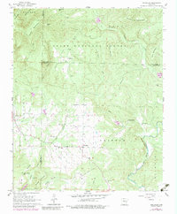
1962 Map of Jerusalem
USGS Topo · Published 1983About this map
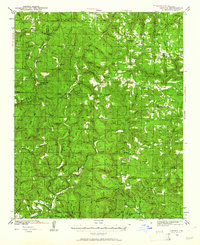
Jerusalem sits at the intersection of rural life and natural resource extraction in this Arkansas landscape, where the Jerusalem Gas Field underlies the farmland. To the north, the terrain transitions into the heavily wooded ridges of the Ozark National Forest, defined by landmarks like Kincannon Mountain and Evans Mountain. The map reveals a community structured around its spiritual and commemorative sites, from Thompson Chapel in the south to Mt Zion Ch and the Cedar Grove Ch near Rock Creek.
Find a feature on this map
46 named features on this map. Tap any name to fly to it.
Don’t see what you’re looking for? This feature index may not catch every label — zoom into the map to look around manually.
Map Details
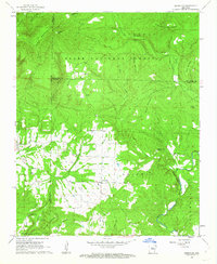
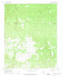
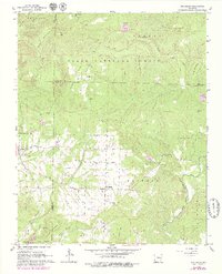
Editions of this 1962 Jerusalem Map
4 editions found
Other maps of this area

1879 · Washington
USGS Topo · 1:62,500

1887 · Smyrna
USGS Topo · 1:62,500

1889 · Marshall #3
USGS Topo · 1:62,500

1892 · Marshall
USGS Topo · 1:125,000

1892 · Morrillton
USGS Topo · 1:125,000

1894 · Morrillton
USGS Topo · 1:125,000

1894 · Marshall
USGS Topo · 1:125,000

1901 · Marshall
USGS Topo · 1:125,000
1940 · Smyrna
USGS Topo · 1:62,500

1943 · Smyrna
USGS Topo · 1:62,500