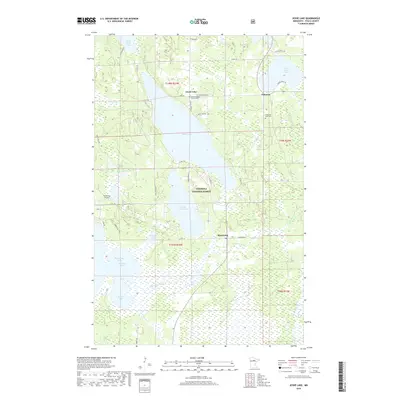
2019 Map of Jessie Lake
USGS Topo · Published 2019About this map
Jessie Lake and the northern reaches of the Bowstring River anchor this landscape within the Chippewa National Forest. The map documents a classic northern Minnesota lake country settlement pattern, where small communities like Talmoon and Bowstring are interspersed among a dense network of water bodies including Little Jessie Lake, Elbow Lake, and Little Turtle Lake. The presence of the Old Norwegian Church Cem and Greenwood Cem near the northwestern shore of Jessie Lake provides specific geographic markers for genealogical research in this part of Itasca County.
Find a feature on this map
44 named features on this map. Tap any name to fly to it.
Don’t see what you’re looking for? This feature index may not catch every label — zoom into the map to look around manually.
Map Details
Editions of this 2019 Jessie Lake Map
This is the sole edition of this map. No revisions or reprints were ever made.
Other maps of this area

1919 · Marcell
USGS Topo · 1:62,500

1954 · Hibbing
USGS Topo · 1:250,000

1957 · Hibbing
USGS Topo · 1:250,000

1958 · Hibbing
USGS Topo · 1:250,000

1964 · Hibbing
USGS Topo · 1:250,000

1970 · Bowstring Lake
USGS Topo · 1:24,000

1970 · Deer River NE
USGS Topo · 1:24,000

1970 · Jessie Lake
USGS Topo · 1:24,000
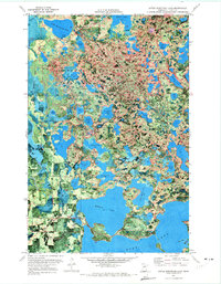
1970 · Little Bowstring Lake
USGS Topo · 1:24,000
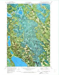
1970 · Little Ball Club Lake
USGS Topo · 1:24,000