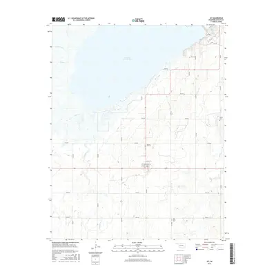
2016 Map of Jet
USGS Topo · Published 2016About this map
The town of Jet serves as the central hub of this Alfalfa County landscape, situated just south of the expansive Great Salt Plains Reservoir. This modern survey illustrates the intersection of mid-continent agriculture and significant water management, where the Salt Fork Arkansas River feeds into the reservoir. The town itself is organized along a grid including Magnolia St and Walnut St, surrounded by a section-line road network that defines the rural character of the region.
Find a feature on this map
35 named features on this map. Tap any name to fly to it.
Don’t see what you’re looking for? This feature index may not catch every label — zoom into the map to look around manually.
Map Details
Editions of this 2016 Jet Map
This is the sole edition of this map. No revisions or reprints were ever made.
Other maps of this area

1955 · Woodward
USGS Topo · 1:250,000

1958 · Woodward
USGS Topo · 1:250,000

1969 · Jet
USGS Topo · 1:24,000

1969 · Goltry
USGS Topo · 1:24,000

1969 · Nash
USGS Topo · 1:24,000

1969 · Helena
USGS Topo · 1:24,000
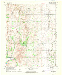
1969 · Sand Creek
USGS Topo · 1:24,000

1969 · Manchester SW
USGS Topo · 1:24,000

1969 · Cherokee North
USGS Topo · 1:24,000

1969 · Jet SE
USGS Topo · 1:24,000