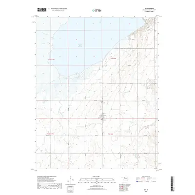
2018 Map of Jet
USGS Topo · Published 2018About this map
The town of Jet sits at the heart of this Alfalfa County landscape, just south of the sprawling Great Salt Plains Reservoir. The settlement's residential grid is clearly defined by Main St, Walnut St, and Maple St, serving as a localized hub for the surrounding agricultural community. The terrain is deeply influenced by the reservoir's shoreline and the various waterways that feed it, including Cottonwood Cr, Clay Cr, and Twin Spring Creek.
Find a feature on this map
30 named features on this map. Tap any name to fly to it.
Don’t see what you’re looking for? This feature index may not catch every label — zoom into the map to look around manually.
Map Details
Editions of this 2018 Jet Map
This is the sole edition of this map. No revisions or reprints were ever made.
Other maps of this area

1955 · Woodward
USGS Topo · 1:250,000

1958 · Woodward
USGS Topo · 1:250,000

1969 · Jet
USGS Topo · 1:24,000

1969 · Goltry
USGS Topo · 1:24,000

1969 · Nash
USGS Topo · 1:24,000

1969 · Helena
USGS Topo · 1:24,000
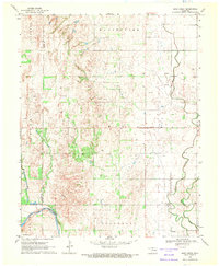
1969 · Sand Creek
USGS Topo · 1:24,000

1969 · Manchester SW
USGS Topo · 1:24,000

1969 · Cherokee North
USGS Topo · 1:24,000

1969 · Jet SE
USGS Topo · 1:24,000