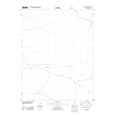
2012 Map of Jet Spring
USGS Topo · Published 2012About this map
Mount Ziggurat stands as a prominent landmark in this high-desert portion of Nye County, where the landscape is defined by drainage patterns and forest service access routes. The area is largely undeveloped, serving as a corridor for back-country navigation via New Moores Creek Rd and several primitive tracks managed by the U.S. Forest Service. Water is a critical and sparse resource here, represented by the namesake Jet Spring found in the central-east portion of the quadrangle. The map details the remote transition between the valley floor and the rising slopes of the Toiyabe National Forest, tracing the precise routes of Natl Forest Develop Road 398 Rd as it winds through the arid terrain.
Find a feature on this map
5 named features on this map. Tap any name to fly to it.
Don’t see what you’re looking for? This feature index may not catch every label — zoom into the map to look around manually.
Map Details
Editions of this 2012 Jet Spring Map
This is the sole edition of this map. No revisions or reprints were ever made.
Other maps of this area

1907 · Tonopah
USGS Topo · 1:250,000

1908 · Tonopah
USGS Topo · 1:250,000

1926 · Roberts Mountains
USGS Topo · 1:250,000

1929 · Roberts Mountains
USGS Topo · 1:250,000

1955 · Millett
USGS Topo · 1:250,000

1956 · Millett Ranch
USGS Topo · 1:62,500

1956 · Tonopah
USGS Topo · 1:250,000

1959 · Tonopah
USGS Topo · 1:250,000

1959 · Millett
USGS Topo · 1:250,000

1960 · Wildcat Peak
USGS Topo · 1:62,500