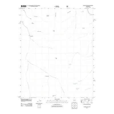
2011 Map of Jicarita Peak
USGS Topo · Published 2011About this map
Jicarita Peak and the high ridges of the Sangre de Cristo Mountains define this high-altitude landscape in north-central New Mexico. The 2011 survey documents a remote wilderness environment where numerous headwaters converge, including the West Fork, Middle Fork, and East Fork Rio Santa Barbara. These streams descend from peaks like Peñascoso Mountain and Little Jicarita Peak, feeding into the broader Rio Santa Barbara drainage system.
Find a feature on this map
28 named features on this map. Tap any name to fly to it.
Don’t see what you’re looking for? This feature index may not catch every label — zoom into the map to look around manually.
Map Details
Editions of this 2011 Jicarita Peak Map
This is the sole edition of this map. No revisions or reprints were ever made.
Other maps of this area

1889 · Las Vegas
USGS Topo · 1:125,000

1889 · Santa Fe
USGS Topo · 1:125,000

1891 · Las Vegas
USGS Topo · 1:125,000

1893 · Las Vegas
USGS Topo · 1:125,000

1894 · Santa Fe
USGS Topo · 1:125,000

1954 · Santa Fe
USGS Topo · 1:250,000

1954 · Raton
USGS Topo · 1:250,000

1958 · Raton
USGS Topo · 1:250,000

1958 · Santa Fe
USGS Topo · 1:250,000
1963 · Truchas Peak
USGS Topo · 1:24,000