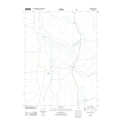
2012 Map of Jiggs
USGS Topo · Published 2012About this map
Huntington Creek winds through the heart of this Nevada ranching landscape, defining the broad corridor between Mound Valley and Huntington Valley. The area is characterized by a network of established homesteads and livestock operations, including the Hansel Ranch, Circle L Ranch, and several holdings belonging to the Zunino Ranch family. The small settlement of Jiggs, anchored by the Jiggs Post Office, serves as a central landmark at the intersection of local routes. The geography is shaped by numerous seasonal and perennial waterways such as Smith Creek, Gilbert Creek, and Corral Creek, which feed into the valley floor. To the southeast, the terrain begins its ascent toward Harrison Pass, while the Zunino Reservoir provides a critical water source for the surrounding agricultural tracts in this high-desert environment.
Find a feature on this map
21 named features on this map. Tap any name to fly to it.
Don’t see what you’re looking for? This feature index may not catch every label — zoom into the map to look around manually.
Map Details
Editions of this 2012 Jiggs Map
This is the sole edition of this map. No revisions or reprints were ever made.
Other maps of this area
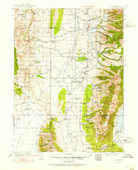
1934 · Jiggs
USGS Topo · 1:125,000
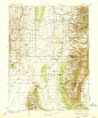
1937 · Jiggs
USGS Topo · 1:125,000
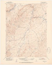
1952 · Dixie Flats
USGS Topo · 1:62,500
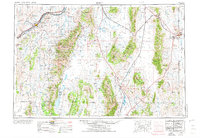
1955 · Elko
USGS Topo · 1:250,000
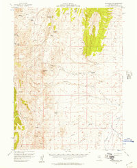
1956 · Robinson Mtn
USGS Topo · 1:62,500
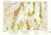
1958 · Elko
USGS Topo · 1:250,000
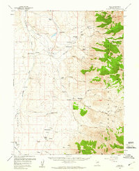
1959 · Jiggs
USGS Topo · 1:62,500
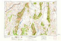
1962 · Elko
USGS Topo · 1:250,000
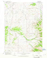
1962 · Lee
USGS Topo · 1:62,500
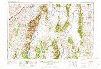
1965 · Elko
USGS Topo · 1:250,000