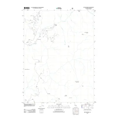
2012 Map of Jim Jam Ridge
USGS Topo · Published 2012About this map
Miller Ranch stands as a focal point in this remote corner of Trinity County, where the New River and its various forks carve through the landscape. This 2012 survey illustrates the network of backcountry camps and peaks that define the high-elevation terrain, including Jakes Lower Camp and Hailstone Camp. The distribution of these sites, alongside Clems Camp and Panther Camp, suggests a region used heavily for forest management, recreation, and seasonal outposts. Modern access is marked by the East Fork Trailhead Parking, serving as a gateway to features like Jim Jam Ridge and the steep descent of Devils Canyon. The map provides a precise view of the drainage systems and ridgelines, from Beartooth Mountain to China Peak, reflecting the enduring character of the Trinity National Forest territory.
Find a feature on this map
38 named features on this map. Tap any name to fly to it.
Don’t see what you’re looking for? This feature index may not catch every label — zoom into the map to look around manually.
Map Details
Editions of this 2012 Jim Jam Ridge Map
This is the sole edition of this map. No revisions or reprints were ever made.
Other maps of this area

1909 · Big Bar
USGS Topo · 1:96,000

1915 · Big Bar and Vicinity
USGS Topo · 1:250,000

1948 · Weed
USGS Topo · 1:250,000

1950 · Weed
USGS Topo · 1:250,000

1951 · Helena
USGS Topo · 1:62,500

1951 · Ironside Mountain
USGS Topo · 1:62,500

1955 · Salmon Mtn
USGS Topo · 1:62,500

1955 · Cecilville
USGS Topo · 1:62,500

1958 · Redding
USGS Topo · 1:250,000

1958 · Weed
USGS Topo · 1:250,000