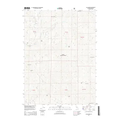
2015 Map of Jim Jam Ridge
USGS Topo · Published 2015About this map
Trinity National Forest encompasses this high-elevation landscape, where the New River and its various tributaries carve deep drainages through the Salmon Mountains. The convergence of the E Fork New River and S Fork E Fork New River in the northeastern reaches of the map illustrates the complex watershed that defines the region's topography. Settlement is nearly non-existent in this wilderness area, marked primarily by isolated landmarks such as Jim Jam Spring and the rugged spine of Jim Jam Ridge. Historical access into this territory is traced via Denny Rd in the west, while named points like Bake Oven Ridge and China Peak provide fixed references for researchers. The map's layout of townships and ranges indicates the underlying cadastral survey of these remote mountain peaks, including Beartooth Mtn and Green Mtn.
Find a feature on this map
32 named features on this map. Tap any name to fly to it.
Don’t see what you’re looking for? This feature index may not catch every label — zoom into the map to look around manually.
Map Details
Editions of this 2015 Jim Jam Ridge Map
This is the sole edition of this map. No revisions or reprints were ever made.
Other maps of this area

1909 · Big Bar
USGS Topo · 1:96,000

1915 · Big Bar and Vicinity
USGS Topo · 1:250,000

1948 · Weed
USGS Topo · 1:250,000

1950 · Weed
USGS Topo · 1:250,000

1951 · Helena
USGS Topo · 1:62,500

1951 · Ironside Mountain
USGS Topo · 1:62,500

1955 · Salmon Mtn
USGS Topo · 1:62,500

1955 · Cecilville
USGS Topo · 1:62,500

1958 · Redding
USGS Topo · 1:250,000

1958 · Weed
USGS Topo · 1:250,000