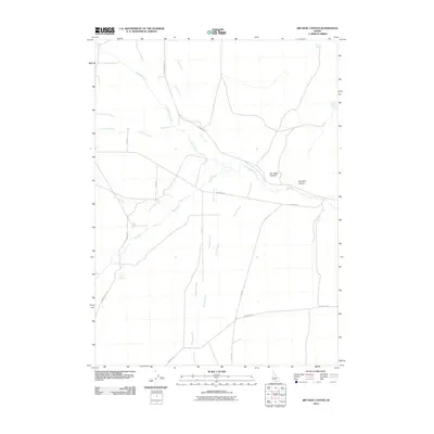
2010 Map of Jim Sage Canyon
USGS Topo · Published 2010About this map
Jim Sage Canyon and Womack Canyon dominate this high-desert landscape in Cassia County, where the perennial flow of the Raft River provides a critical anchor for the local ranching economy. The complex drainage network is defined by numerous seasonal and spring-fed tributaries including Almo Creek, Johnson Creek, and George Creek, which descend from the surrounding heights to join the main river valley.
Find a feature on this map
22 named features on this map. Tap any name to fly to it.
Don’t see what you’re looking for? This feature index may not catch every label — zoom into the map to look around manually.
Map Details
Editions of this 2010 Jim Sage Canyon Map
This is the sole edition of this map. No revisions or reprints were ever made.
Other maps of this area

1954 · Pocatello
USGS Topo · 1:250,000

1954 · Brigham City
USGS Topo · 1:250,000

1958 · Pocatello
USGS Topo · 1:250,000

1958 · Brigham City
USGS Topo · 1:250,000

1959 · Park Valley
USGS Topo · 1:62,500

1959 · Yost
USGS Topo · 1:62,500

1962 · Brigham City
USGS Topo · 1:250,000

1968 · Almo
USGS Topo · 1:24,000

1968 · Cache Peak
USGS Topo · 1:24,000

1968 · Jim Sage Canyon
USGS Topo · 1:24,000