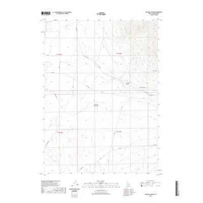
2020 Map of Jim Sage Canyon
USGS Topo · Published 2020About this map
The Upper Raft River Valley in southern Cassia County is defined by a network of drainage systems and vital water sources that sustained ranching in this high-desert environment. The Raft River serves as the primary hydrological feature, fed by numerous seasonal and perennial flows including Almo Cr, Grape Cr, and Edwards Cr. This 2020 survey illustrates the complex topography of the eastern slopes, where the rugged Jim Sage Canyon and Womack Canyon descend toward the valley floor. High-elevation water points like Jim Sage Spring, Womack Canyon Spring, and Reed Spring are critical landmarks for those tracing the history of land use and livestock movement. The mapping of The Narrows and the transition into Dry Canyon highlights the geographical bottlenecks that influenced the development of local roads like Narrows Rd and EY Rd.
Find a feature on this map
35 named features on this map. Tap any name to fly to it.
Don’t see what you’re looking for? This feature index may not catch every label — zoom into the map to look around manually.
Map Details
Editions of this 2020 Jim Sage Canyon Map
This is the sole edition of this map. No revisions or reprints were ever made.
Other maps of this area

1954 · Pocatello
USGS Topo · 1:250,000

1954 · Brigham City
USGS Topo · 1:250,000

1958 · Pocatello
USGS Topo · 1:250,000

1958 · Brigham City
USGS Topo · 1:250,000

1959 · Park Valley
USGS Topo · 1:62,500

1959 · Yost
USGS Topo · 1:62,500

1962 · Brigham City
USGS Topo · 1:250,000

1968 · Almo
USGS Topo · 1:24,000

1968 · Cache Peak
USGS Topo · 1:24,000

1968 · Jim Sage Canyon
USGS Topo · 1:24,000