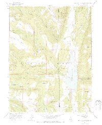
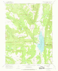
1966 Map of Joes Valley Reservoir
USGS Topo · Published 1988About this map
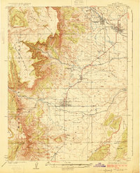
Joes Valley Reservoir dominates the high-altitude landscape of this mid-1960s survey, straddling the boundary between Sanpete and Emery counties. Situated within the Manti-La Sal National Forest, the reservoir features an Intake Tower and Boat Ramp, serving as a focal point for the surrounding canyonlands. The map reveals a high-country infrastructure of trails and seasonal outposts, including the Orange Olsen Administrative Site and the nearby Seely Creek Campground.
Find a feature on this map
58 named features on this map. Tap any name to fly to it.
Don’t see what you’re looking for? This feature index may not catch every label — zoom into the map to look around manually.
Map Details
Editions of this 1966 Joes Valley Reservoir Map
2 editions found
Other maps of this area

1885 · Manti
USGS Topo · 1:250,000

1895 · Manti
USGS Topo · 1:250,000

1922 · Wasatch
USGS Topo · 1:31,680
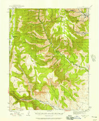
1923 · Castle Dale
USGS Topo · 1:62,500
1923 · Hiawatha
USGS Topo · 1:62,500
1925 · Castle Dale
USGS Topo · 1:62,500

1925 · Hiawatha
USGS Topo · 1:62,500

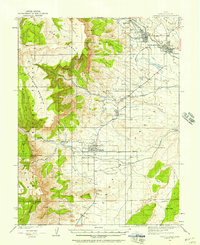
1956 · Price
USGS Topo · 1:250,000

1960 · Price
USGS Topo · 1:250,000

1962 · Price
USGS Topo · 1:250,000