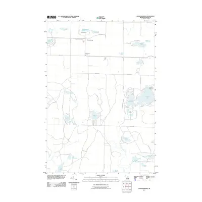
2011 Map of Johannesburg
USGS Topo · Published 2011About this map
Johannesburg sits as the central hub of this Northern Michigan landscape, anchored by the Johannesburg Post Office and the Johannesburg Cemetery. The area is defined by a dense network of glacial lakes and kettle ponds, ranging from the large Big Bear Lake in the east to the smaller Traverse Lakes and Sixth Spectacle Lake further south. The settlement pattern reflects a mix of traditional agriculture and mid-century recreation, evidenced by the Hill Side Farm and the Echo Valley Resort near Johannesburg Lake.
Find a feature on this map
79 named features on this map. Tap any name to fly to it.
Don’t see what you’re looking for? This feature index may not catch every label — zoom into the map to look around manually.
Map Details
Editions of this 2011 Johannesburg Map
This is the sole edition of this map. No revisions or reprints were ever made.
Other maps of this area

1949 · Lewiston
USGS Topo · 1:62,500

1949 · Otsego Lake
USGS Topo · 1:62,500

1950 · Lewiston
USGS Topo · 1:24,000

1950 · Comstock Hills
USGS Topo · 1:24,000

1950 · Johannesburg
USGS Topo · 1:24,000

1950 · Lovells
USGS Topo · 1:24,000

1950 · Turtle Lake
USGS Topo · 1:24,000

1951 · K P Lake
USGS Topo · 1:24,000

1951 · Comstock Hills
USGS Topo · 1:24,000

1951 · Lovells
USGS Topo · 1:24,000