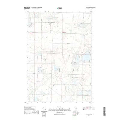
2019 Map of Johannesburg
USGS Topo · Published 2019About this map
Johannesburg serves as the central hub of this Otsego County landscape, situated at the junction of M-32 E and Co Hwy F97. The settlement is closely tied to its natural surroundings, with the Johannesburg Cem and Johannesburg Lake marking its immediate outskirts. This area of Michigan is characterized by an exceptional density of glacial kettle lakes and wetlands, ranging from the large Big Bear Lake and Douglas Lake to the uniquely named Sixth Spectacle Lake and Seventh Spectacle Lake.
Find a feature on this map
85 named features on this map. Tap any name to fly to it.
Don’t see what you’re looking for? This feature index may not catch every label — zoom into the map to look around manually.
Map Details
Editions of this 2019 Johannesburg Map
This is the sole edition of this map. No revisions or reprints were ever made.
Other maps of this area
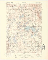
1949 · Lewiston
USGS Topo · 1:62,500
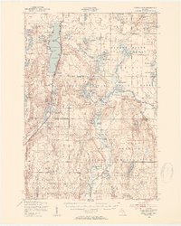
1949 · Otsego Lake
USGS Topo · 1:62,500
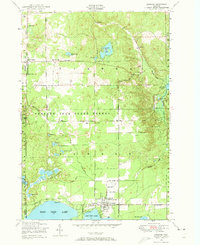
1950 · Lewiston
USGS Topo · 1:24,000
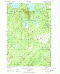
1950 · Comstock Hills
USGS Topo · 1:24,000
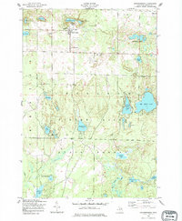
1950 · Johannesburg
USGS Topo · 1:24,000
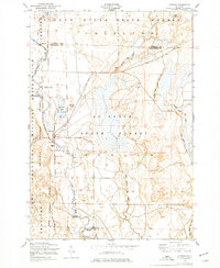
1950 · Lovells
USGS Topo · 1:24,000
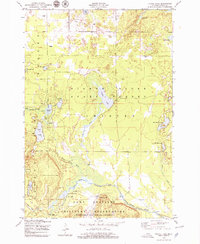
1950 · Turtle Lake
USGS Topo · 1:24,000
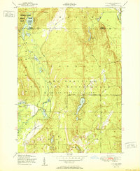
1951 · K P Lake
USGS Topo · 1:24,000
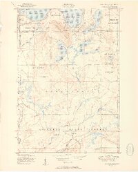
1951 · Comstock Hills
USGS Topo · 1:24,000
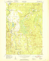
1951 · Lovells
USGS Topo · 1:24,000