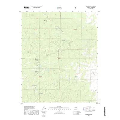
2020 Map of John Kerr Peak
USGS Topo · Published 2020About this map
John Kerr Peak rises as a central landmark within the high-elevation landscape of the Gila National Forest. This section of the Tularosa Mountains is defined by a dense network of water-management features and seasonal drainages, where the Continental Divide National Scenic Trail winds through complex terrain. The map reveals an intricate system of upland tanks and springs, including Damian Spring, Dark Canyon Spring, and Willow Spring, which provided essential water sources for livestock and wildlife in this remote territory. From the northern heights of Wagontongue Mtn down through the deep cuts of Govina Canyon and Wine Canyon, the landscape is partitioned by forest service routes like Forest Rd 47. These labels reflect a long history of range management and resource use in the New Mexico backcountry.
Find a feature on this map
46 named features on this map. Tap any name to fly to it.
Don’t see what you’re looking for? This feature index may not catch every label — zoom into the map to look around manually.
Map Details
Editions of this 2020 John Kerr Peak Map
This is the sole edition of this map. No revisions or reprints were ever made.
Other maps of this area

1915 · Reserve
USGS Topo · 1:125,000

1918 · Pelona
USGS Topo · 1:125,000

1918 · Reserve
USGS Topo · 1:125,000

1954 · Clifton
USGS Topo · 1:250,000

1957 · Clifton
USGS Topo · 1:250,000

1958 · Clifton
USGS Topo · 1:250,000

1962 · Clifton
USGS Topo · 1:250,000
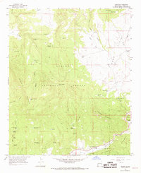
1965 · Aragon
USGS Topo · 1:24,000
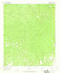
1965 · Eagle Peak
USGS Topo · 1:24,000
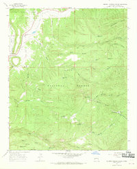
1965 · Squirrel Springs Canyon
USGS Topo · 1:24,000