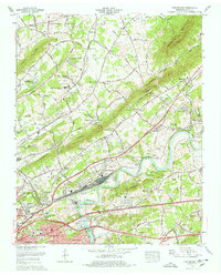
1978 Map of John Sevier
USGS Topo · Published 1978About this map
Holston River dominates this landscape northeast of Knoxville, winding past industrial and agricultural centers in the late 1970s. The prominent Southern Railway yard at John Sevier highlights the area's role as a major regional transit hub, while the surrounding ridges including Mc Annally Ridge and Blackoak Ridge dictate the settlement patterns of communities like Maloneyville and Harbison Crossroads.
Find a feature on this map
67 named features on this map. Tap any name to fly to it.
Don’t see what you’re looking for? This feature index may not catch every label — zoom into the map to look around manually.
Map Details
Editions of this 1978 John Sevier Map
2 editions found
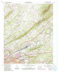
Other maps of this area

1886 · Knoxville
USGS Topo · 1:125,000

1892 · Knoxville
USGS Topo · 1:125,000

1894 · Knoxville
USGS Topo · 1:125,000

1895 · Knoxville
USGS Topo · 1:125,000

1897 · Maynardville
USGS Topo · 1:125,000

1900 · Maynardville
USGS Topo · 1:125,000

1901 · Knoxville
USGS Topo · 1:125,000

1935 · Luttrell
USGS Topo · 1:24,000

1935 · Mascot
USGS Topo · 1:24,000

1935 · Knoxville
USGS Topo · 1:48,000