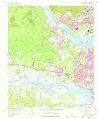
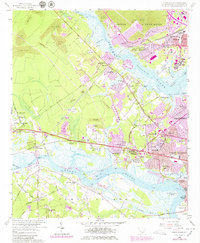
1958 Map of Johns Island
USGS Topo · Published 1973About this map
Ashley River and Stono River define the intricate waterways of this coastal South Carolina landscape, where industrial phosphate extraction and academic agriculture meet centuries of history. Numerous Strip Mines flank the upper reaches of the Ashley, evidence of the region’s intensive mining era, while the U S Department of Agriculture Experiment Farm and Clemson College Experiment Farm occupy significant acreage in the center of the sheet. Settlement patterns are concentrated along the Seaboard Coast Line railroad and the Savannah Highway, with established communities like Drayton and Maryville neighboring historic landmarks such as Drayton Hall and the earthworks of Fort Bull. On Johns Island, small rail stations like Stono Sta and Limehouse Sta reflect the transit-oriented rural economy of the mid-20th century before the full expansion of North Charleston began to alter the suburban fringe.
Find a feature on this map
78 named features on this map. Tap any name to fly to it.
Don’t see what you’re looking for? This feature index may not catch every label — zoom into the map to look around manually.
Map Details
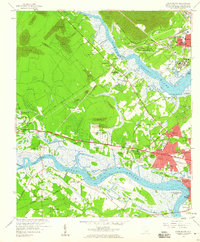
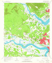
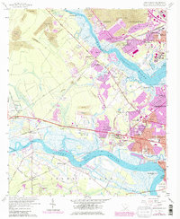
Editions of this 1958 Johns Island Map
5 editions found
Other maps of this area

1919 · Ladson
USGS Topo · 1:21,120

1919 · Johns Island
USGS Topo · 1:21,120

1919 · Wadmelaw Island
USGS Topo · 1:62,500

1919 · Melgrove
USGS Topo · 1:21,120

1919 · Charleston
USGS Topo · 1:21,120

1919 · James Island
USGS Topo · 1:21,120

1919 · Legareville
USGS Topo · 1:21,120

1920 · Ravenels
USGS Topo · 1:62,500

1940 · Melgrove
USGS Topo · 1:24,000

1943 · Legareville
USGS Topo · 1:24,000