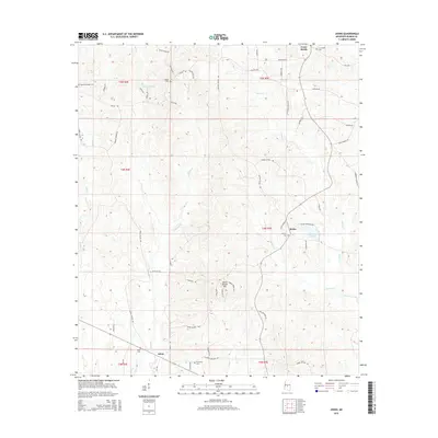
2015 Map of Johns
USGS Topo · Published 2015About this map
Johns and the surrounding Rankin County countryside are defined by a network of creeks and small family settlements. The landscape is carved by the winding paths of Campbell Cr and Purvis Cr, which flow through a region marked by numerous historic burial grounds, including Johns Cem and the Silverena Cem. The distribution of these cemeteries alongside quiet crossroads like Rufus and Cross Roads suggests a long-standing pattern of rural community life tied to the local topography.
Find a feature on this map
61 named features on this map. Tap any name to fly to it.
Don’t see what you’re looking for? This feature index may not catch every label — zoom into the map to look around manually.
Map Details
Editions of this 2015 Johns Map
This is the sole edition of this map. No revisions or reprints were ever made.
Other maps of this area

1922 · Morton
USGS Topo · 1:48,000

1922 · Pelahatchee
USGS Topo · 1:48,000

1924 · Pelahatchee
USGS Topo · 1:62,500

1924 · Morton
USGS Topo · 1:62,500

1935 · White Oak
USGS Topo · 1:24,000

1950 · Pelahatchie
USGS Topo · 1:62,500

1951 · Morton
USGS Topo · 1:62,500

1952 · Pelahatchie
USGS Topo · 1:62,500

1953 · Meridian
USGS Topo · 1:250,000

1957 · Meridian
USGS Topo · 1:250,000