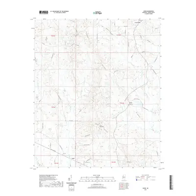
2020 Map of Johns
USGS Topo · Published 2020About this map
Johns and its surrounding countryside in Rankin County exhibit a landscape of timbered ridges and winding creek bottoms. Named ridges like Coyote Ridge and Indian Mound Ridge rise above the drainage systems of Campbell Cr and Walters Cr, creating the undulating terrain typical of this part of Mississippi. The map documents several small, localized settlements such as Rufus and Cross Roads, which are centered around intersection points and local burial grounds including Antioch Cem and Crossroads Cem.
Find a feature on this map
64 named features on this map. Tap any name to fly to it.
Don’t see what you’re looking for? This feature index may not catch every label — zoom into the map to look around manually.
Map Details
Editions of this 2020 Johns Map
This is the sole edition of this map. No revisions or reprints were ever made.
Other maps of this area

1922 · Morton
USGS Topo · 1:48,000

1922 · Pelahatchee
USGS Topo · 1:48,000

1924 · Pelahatchee
USGS Topo · 1:62,500

1924 · Morton
USGS Topo · 1:62,500

1935 · White Oak
USGS Topo · 1:24,000

1950 · Pelahatchie
USGS Topo · 1:62,500

1951 · Morton
USGS Topo · 1:62,500

1952 · Pelahatchie
USGS Topo · 1:62,500

1953 · Meridian
USGS Topo · 1:250,000

1957 · Meridian
USGS Topo · 1:250,000