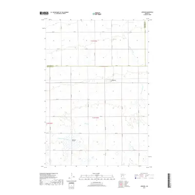
2019 Map of Johnson
USGS Topo · Published 2019About this map
Johnson sits near the intersection of Co Hwy 15 and Co Hwy 21, anchoring a landscape defined by systematic agricultural water management and prairie drainage. The map reveals an intricate network of waterways such as County Ditch Number Eight and County Ditch Number Eleven, which underscore the region's reliance on managed irrigation and land reclamation. To the south, the Moonshine Lakebed suggests the ephemeral nature of the local hydrology, where seasonal basins and depressional wetlands are common features of the terrain. The northern section of the survey is marked by Trinity Cem and the winding course of the W Fork Twelvemile Cr, highlighting the quiet rural character of the area near the border of Traverse, Stevens, and Big Stone counties.
Find a feature on this map
33 named features on this map. Tap any name to fly to it.
Don’t see what you’re looking for? This feature index may not catch every label — zoom into the map to look around manually.
Map Details
Editions of this 2019 Johnson Map
This is the sole edition of this map. No revisions or reprints were ever made.
Other maps of this area

1910 · Chokio
USGS Topo · 1:62,500

1912 · Chokio
USGS Topo · 1:62,500

1950 · Graceville
USGS Topo · 1:62,500

1953 · Ortonville
USGS Topo · 1:62,500

1953 · Milbank
USGS Topo · 1:250,000

1958 · Milbank
USGS Topo · 1:250,000

1968 · Artichoke Lake NW
USGS Topo · 1:24,000

1971 · Dismal Swamp
USGS Topo · 1:24,000
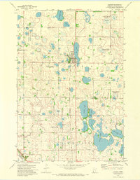
1971 · Clinton
USGS Topo · 1:24,000
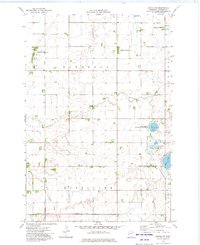
1973 · Chokio NW
USGS Topo · 1:24,000