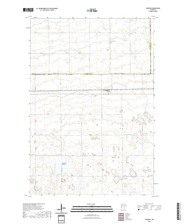
2022 Map of Johnson
USGS Topo · Published 2022About this map
The small community of Johnson serves as the focal point of this western Minnesota agricultural landscape, situated at the intersection of several significant county routes. The terrain is characterized by a complex network of drainage systems essential to the regional farming economy, including the W Fork Twelvemile Cr and artificial waterways like County Ditch Number Eleven and County Ditch Number Eight. These features reflect the long-term transformation of the prairie into productive cropland. A notable landmark for local historians is the Trinity Cem located to the northeast of the town site, while the presence of the Moonshine Lakebed to the southwest indicates the natural hydrology that once defined this area before extensive tiling and ditching. The map also delineates the meeting point of Big Stone, Traverse, and Stevens counties, illustrating the jurisdictional boundaries that shape the local administration.
Find a feature on this map
33 named features on this map. Tap any name to fly to it.
Don’t see what you’re looking for? This feature index may not catch every label — zoom into the map to look around manually.
Map Details
Editions of this 2022 Johnson Map
This is the sole edition of this map. No revisions or reprints were ever made.
Other maps of this area

1910 · Chokio
USGS Topo · 1:62,500

1912 · Chokio
USGS Topo · 1:62,500

1950 · Graceville
USGS Topo · 1:62,500

1953 · Ortonville
USGS Topo · 1:62,500

1953 · Milbank
USGS Topo · 1:250,000

1958 · Milbank
USGS Topo · 1:250,000

1968 · Artichoke Lake NW
USGS Topo · 1:24,000

1971 · Dismal Swamp
USGS Topo · 1:24,000
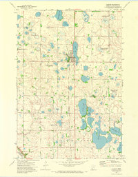
1971 · Clinton
USGS Topo · 1:24,000
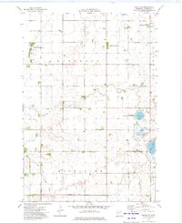
1973 · Chokio NW
USGS Topo · 1:24,000