
1954 Map of Johnson Hammock
USGS Topo · Published 1955About this map
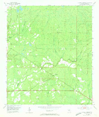
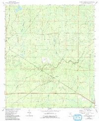
The Econfina River snakes through the dense marsh and pine flatlands of Taylor County in the mid-1950s, anchoring a landscape defined by its intricate drainage networks and subtle topographical shifts. This survey, compiled in part from 1951 aerial photography, reveals a remote section of the Florida Panhandle where life centered on a few vital landmarks such as Oakland Ch. The western portion of the quadrangle is marked by Johnson Hammock Creek and Cabbage Grove Creek, while the southeastern quadrant features the winding path of Regular Creek. These watercourses, including the smaller Natural Well Branch and Rose Creek, suggest the wet, low-lying nature of the terrain during this era, long before modern drainage or major development altered the local hydrology. The map provides a precise look at the historic township lines and sparse road network that served these isolated communities.
Find a feature on this map
11 named features on this map. Tap any name to fly to it.
Don’t see what you’re looking for? This feature index may not catch every label — zoom into the map to look around manually.
Map Details
Editions of this 1954 Johnson Hammock Map
3 editions found
Other maps of this area

1952 · Secotan
USGS Topo · 1:24,000

1954 · Hampton Springs
USGS Topo · 1:24,000

1954 · Secotan
USGS Topo · 1:24,000

1954 · Valdosta
USGS Topo · 1:250,000

1955 · Snipe Island
USGS Topo · 1:24,000

1955 · Shady Grove
USGS Topo · 1:24,000

1955 · Nutall Rise
USGS Topo · 1:24,000

1955 · Lamont SE
USGS Topo · 1:24,000

1955 · Manlin Hammock
USGS Topo · 1:24,000

1955 · Wacissa
USGS Topo · 1:24,000