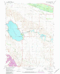
1971 Map of Johnson Lake
USGS Topo · Published 1984About this map
Hydraulic engineering and the legacy of western migration intersect along the Dawson and Gosper County line in this early 1970s survey. The landscape is defined by the Platte River and the massive irrigation and power infrastructure of the Tri-County Supply Canal, which feeds into Johnson Lake and the southern Elwood Reservoir. This water network supported a growing mid-century recreation economy, evidenced by the State Recreation Area, a Golf Course, and the Johnson Lake Landing Field.
Find a feature on this map
19 named features on this map. Tap any name to fly to it.
Don’t see what you’re looking for? This feature index may not catch every label — zoom into the map to look around manually.
Map Details
Editions of this 1971 Johnson Lake Map
2 editions found
Other maps of this area

1896 · Lexington
USGS Topo · 1:125,000

1899 · Lexington
USGS Topo · 1:125,000

1955 · Grand Island
USGS Topo · 1:250,000

1957 · Grand Island
USGS Topo · 1:250,000

1958 · Grand Island
USGS Topo · 1:250,000

1962 · Lexington West
USGS Topo · 1:24,000

1962 · Lexington East
USGS Topo · 1:24,000

1962 · Bertrand NW
USGS Topo · 1:24,000
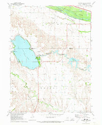
1971 · Johnson Lake
USGS Topo · 1:24,000
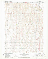
1971 · Elwood SW
USGS Topo · 1:24,000