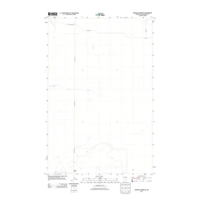
2013 Map of Johnson Landing SE
USGS Topo · Published 2013About this map
Rock Cut Lookout Tower stands as a primary landmark in this northern Minnesota landscape, marking a high point in a terrain defined by subtle elevation changes and forest management routes. The area is traversed by the Deer River Line, which bisects the quadrangle vertically, suggesting historical or administrative boundaries within the dense woodland. Waterways like Reilly Cr wind through the central portion of the map, while a network of utility and access roads, including Cut Across Forest Rd and Nelson Rd, indicate the active role of forestry and land management in this portion of Koochiching County. The inclusion of River Rd in the northeast corner further points toward the local infrastructure used to navigate this remote timber-rich region.
Find a feature on this map
6 named features on this map. Tap any name to fly to it.
Don’t see what you’re looking for? This feature index may not catch every label — zoom into the map to look around manually.
Map Details
Editions of this 2013 Johnson Landing SE Map
This is the sole edition of this map. No revisions or reprints were ever made.
Other maps of this area

1919 · M
USGS Topo · 1:62,500

1954 · Hibbing
USGS Topo · 1:250,000

1954 · International Falls
USGS Topo · 1:250,000

1957 · Hibbing
USGS Topo · 1:250,000

1957 · International Falls
USGS Topo · 1:250,000

1958 · International Falls
USGS Topo · 1:250,000

1958 · Hibbing
USGS Topo · 1:250,000

1964 · Hibbing
USGS Topo · 1:250,000

1970 · Johnson Landing SE
USGS Topo · 1:24,000
1970 · Nett Lake River West
USGS Topo · 1:24,000