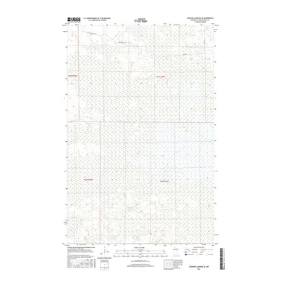
2016 Map of Johnson Landing SE
USGS Topo · Published 2016About this map
Reilly Cr meanders through this portion of Koochiching County, cutting a path through the extensive wetland and forest landscape of northern Minnesota. This 2016 survey highlights the sparse infrastructure of the region, where transportation is defined by specialized routes such as Cut Across Forest Rd and Nelson Rd. The terrain is characterized by intricate drainage patterns and low-lying areas, typical of the boggy environments found south of the international border. Along the eastern edge, River Rd parallels the water, providing one of the few established corridors through the dense woodland. The map serves as a detailed record of the Public Land Survey System divisions, including portions of t65n r26w, t65n r25w, t64n r26w, and t64n r25w, which dictate the township and range grid that still organizes this remote territory.
Find a feature on this map
8 named features on this map. Tap any name to fly to it.
Don’t see what you’re looking for? This feature index may not catch every label — zoom into the map to look around manually.
Map Details
Editions of this 2016 Johnson Landing SE Map
This is the sole edition of this map. No revisions or reprints were ever made.
Other maps of this area

1919 · M
USGS Topo · 1:62,500

1954 · Hibbing
USGS Topo · 1:250,000

1954 · International Falls
USGS Topo · 1:250,000

1957 · Hibbing
USGS Topo · 1:250,000

1957 · International Falls
USGS Topo · 1:250,000

1958 · International Falls
USGS Topo · 1:250,000

1958 · Hibbing
USGS Topo · 1:250,000

1964 · Hibbing
USGS Topo · 1:250,000

1970 · Johnson Landing SE
USGS Topo · 1:24,000
1970 · Nett Lake River West
USGS Topo · 1:24,000