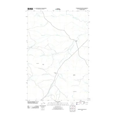
2011 Map of Johnson Mountain
USGS Topo · Published 2011About this map
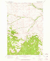
The Middle Fork Dearborn River carves through this portion of Lewis and Clark County, defining a landscape of high-altitude drainages and ranching heritage. Near the western edge, the Steinbach Ranch occupies the slopes above Little Skunk Creek, reflecting the area's long-standing connection to livestock and mountain agriculture. The topography is anchored by significant peaks including Johnson Mountain and Joes Mountain, which rise above the surrounding valleys and numerous seasonal watercourses like Bessette Creek and Catherine Creek.
Find a feature on this map
24 named features on this map. Tap any name to fly to it.
Don’t see what you’re looking for? This feature index may not catch every label — zoom into the map to look around manually.
Map Details
Editions of this 2011 Johnson Mountain Map
This is the sole edition of this map. No revisions or reprints were ever made.
Other maps of this area

1943 · Hogan
USGS Topo · 1:125,000

1955 · Choteau
USGS Topo · 1:250,000

1957 · Choteau
USGS Topo · 1:250,000

1958 · Choteau
USGS Topo · 1:250,000
1961 · Roberts Mountain
USGS Topo · 1:24,000
1961 · Comb Rock
USGS Topo · 1:24,000

1962 · Choteau
USGS Topo · 1:250,000
1962 · Bowmans Corners
USGS Topo · 1:24,000
1962 · Johnson Mountain
USGS Topo · 1:24,000
1963 · Rogers Pass
USGS Topo · 1:24,000