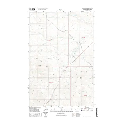
2017 Map of Johnson Mountain
USGS Topo · Published 2017About this map
Johnson Mountain and Joes Mtn dominate the eastern reaches of this Montana landscape, where the Middle Fork Dearborn River carves a path through the terrain. The map records a complex hydrological network including Gillette Ditch and several seasonally variable streams like Big Skunk Cr and Little Skunk Cr. Toward the center, the distinct elevations of Sunset Hill and Sunrise Hill rise above the drainage of Bedrock Cr. This 2017 survey by the U.S. Geological Survey illustrates a modern view of Lewis and Clark County, defined by its rural road network—including L B C Rd and McDonough Rd—and the persistent watercourses like the Dearborn River that have shaped local ranching and land use patterns for generations.
Find a feature on this map
27 named features on this map. Tap any name to fly to it.
Don’t see what you’re looking for? This feature index may not catch every label — zoom into the map to look around manually.
Map Details
Editions of this 2017 Johnson Mountain Map
This is the sole edition of this map. No revisions or reprints were ever made.
Other maps of this area

1943 · Hogan
USGS Topo · 1:125,000

1955 · Choteau
USGS Topo · 1:250,000

1957 · Choteau
USGS Topo · 1:250,000

1958 · Choteau
USGS Topo · 1:250,000
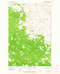
1961 · Roberts Mountain
USGS Topo · 1:24,000
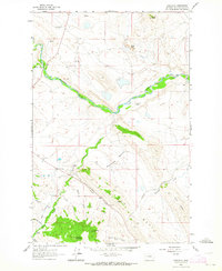
1961 · Comb Rock
USGS Topo · 1:24,000

1962 · Choteau
USGS Topo · 1:250,000
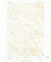
1962 · Bowmans Corners
USGS Topo · 1:24,000
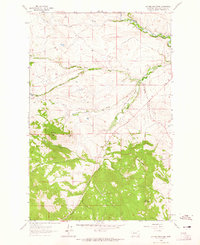
1962 · Johnson Mountain
USGS Topo · 1:24,000
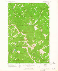
1963 · Rogers Pass
USGS Topo · 1:24,000