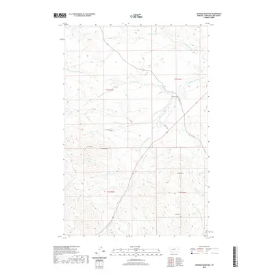
2020 Map of Johnson Mountain
USGS Topo · Published 2020About this map
The Dearborn River and its southern tributaries define the complex drainage patterns of Lewis and Clark County in this detailed topographical study. The landscape is dominated by notable peaks such as Johnson Mtn and Joes Mtn, while the twin elevations of Sunset Hill and Sunrise Hill provide distinct navigational markers to the west. The area is characterized by a network of creeks including Big Skunk Cr, Little Skunk Cr, and Wrangle Cr, which cut through the high country to feed the larger river system.
Find a feature on this map
28 named features on this map. Tap any name to fly to it.
Don’t see what you’re looking for? This feature index may not catch every label — zoom into the map to look around manually.
Map Details
Editions of this 2020 Johnson Mountain Map
This is the sole edition of this map. No revisions or reprints were ever made.
Other maps of this area

1943 · Hogan
USGS Topo · 1:125,000

1955 · Choteau
USGS Topo · 1:250,000

1957 · Choteau
USGS Topo · 1:250,000

1958 · Choteau
USGS Topo · 1:250,000
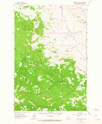
1961 · Roberts Mountain
USGS Topo · 1:24,000
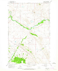
1961 · Comb Rock
USGS Topo · 1:24,000

1962 · Choteau
USGS Topo · 1:250,000
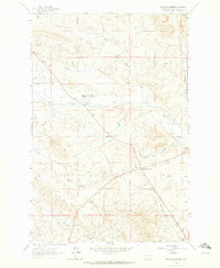
1962 · Bowmans Corners
USGS Topo · 1:24,000
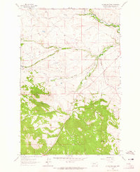
1962 · Johnson Mountain
USGS Topo · 1:24,000
1963 · Rogers Pass
USGS Topo · 1:24,000