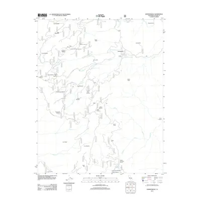
2012 Map of Johnsondale
USGS Topo · Published 2012About this map
Johnsondale serves as the central hub of this high-elevation terrain in Tulare County, situated at the confluence of South Cr and Parker Meadow Cr. The landscape is defined by a series of named meadows and canyons, reflecting a long history of seasonal grazing and timber harvesting. From the sprawling Packsaddle Meadow in the west to the higher reaches of Speas Meadow, these open clearings are interconnected by a network of Forest Service routes. Evidence of historical industry and recreation is found in the south near the Deer Creek Mill and the various established camping sites like Speas Dirty Camp and Holey Meadow Campground. The topography is marked by distinctive granite formations, including Capitol Rock, Dome Rock, and the prominent Elephant Knob, which watch over the watersheds of Nobe Young Cr and Tobias Cr.
Find a feature on this map
54 named features on this map. Tap any name to fly to it.
Don’t see what you’re looking for? This feature index may not catch every label — zoom into the map to look around manually.
Map Details
Editions of this 2012 Johnsondale Map
This is the sole edition of this map. No revisions or reprints were ever made.
Other maps of this area

1904 · Kaweah
USGS Topo · 1:125,000

1905 · Olancha
USGS Topo · 1:125,000

1905 · Fairview
USGS Topo · 1:24,000

1906 · Kernville
USGS Topo · 1:125,000

1907 · Olancha
USGS Topo · 1:125,000

1908 · Kernville
USGS Topo · 1:125,000

1909 · Kaweah
USGS Topo · 1:125,000

1918 · Fairview
USGS Topo · 1:31,680

1936 · Tobias Peak
USGS Topo · 1:125,000

1937 · Kaweah
USGS Topo · 1:125,000