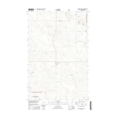
2014 Map of Johnsons Corner
USGS Topo · Published 2014About this map
Johnsons Corner serves as the focal point of this western North Dakota landscape, situated at the intersection of ND-23 and ND-73. The map illustrates a region defined by the energy industry and the conservation lands of the Little Missouri National Grassland. Energy extraction is prominent throughout the terrain, evidenced by the Camel Buttes Oil and Gas Field and Pershing Oil and Gas Field.
Find a feature on this map
23 named features on this map. Tap any name to fly to it.
Don’t see what you’re looking for? This feature index may not catch every label — zoom into the map to look around manually.
Map Details
Editions of this 2014 Johnsons Corner Map
This is the sole edition of this map. No revisions or reprints were ever made.
Other maps of this area

1953 · Watford City
USGS Topo · 1:250,000

1957 · Watford City
USGS Topo · 1:250,000

1959 · Croff
USGS Topo · 1:24,000

1959 · Lone Butte NE
USGS Topo · 1:24,000

1965 · Keene
USGS Topo · 1:24,000

1965 · Johnsons Corner
USGS Topo · 1:24,000

1965 · Blue Buttes
USGS Topo · 1:24,000

1965 · Blue Buttes SE
USGS Topo · 1:24,000

1967 · Watford City
USGS Topo · 1:250,000

1970 · Figure 4 Ranch
USGS Topo · 1:24,000