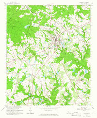
1964 Map of Johnston
USGS Topo · Published 1966About this map
Johnston serves as the central hub of this 1964 survey, where the Southern railway line and multiple regional roads converge. The town's layout is meticulously detailed, showing the Armory, Substation, and local water infrastructure, alongside prominent landmarks like the Radio Tower (WJES). To the south, the settlement of Trenton sits near the headwaters of Shaw Creek, illustrating the dispersed rural community structure of the South Carolina Piedmont during the mid-20th century.
Find a feature on this map
44 named features on this map. Tap any name to fly to it.
Don’t see what you’re looking for? This feature index may not catch every label — zoom into the map to look around manually.
Map Details
Editions of this 1964 Johnston Map
2 editions found
Other maps of this area

1920 · Aiken
USGS Topo · 1:48,000

1921 · Aiken
USGS Topo · 1:62,500

1923 · Warrenville
USGS Topo · 1:48,000

1928 · Warrenville
USGS Topo · 1:62,500

1943 · Aiken
USGS Topo · 1:62,500

1943 · Warrenville
USGS Topo · 1:62,500

1954 · Augusta
USGS Topo · 1:250,000

1957 · Augusta
USGS Topo · 1:250,000

1958 · Augusta
USGS Topo · 1:250,000

1961 · Augusta
USGS Topo · 1:250,000