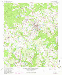
1964 Map of Johnston
USGS Topo · Published 1983About this map
The town of Johnston serves as a central hub on this 1960s landscape, positioned at the intersection of local routes and the Southern railroad line. The map highlights a community deeply connected by its spiritual and educational institutions, featuring Thurmond High Sch and numerous country churches such as Lotta Grove Ch and Ross Spring Ch. The terrain is defined by the headwaters of the South Fork Edisto River, with various family-named landmarks and cemeteries like Mount of Olives Cem and DeLoach Cem scattered throughout the rural outskirts.
Find a feature on this map
53 named features on this map. Tap any name to fly to it.
Don’t see what you’re looking for? This feature index may not catch every label — zoom into the map to look around manually.
Map Details
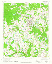
Editions of this 1964 Johnston Map
2 editions found
Other maps of this area

1920 · Aiken
USGS Topo · 1:48,000

1921 · Aiken
USGS Topo · 1:62,500

1923 · Warrenville
USGS Topo · 1:48,000

1928 · Warrenville
USGS Topo · 1:62,500

1943 · Aiken
USGS Topo · 1:62,500

1943 · Warrenville
USGS Topo · 1:62,500

1954 · Augusta
USGS Topo · 1:250,000

1957 · Augusta
USGS Topo · 1:250,000

1958 · Augusta
USGS Topo · 1:250,000

1961 · Augusta
USGS Topo · 1:250,000