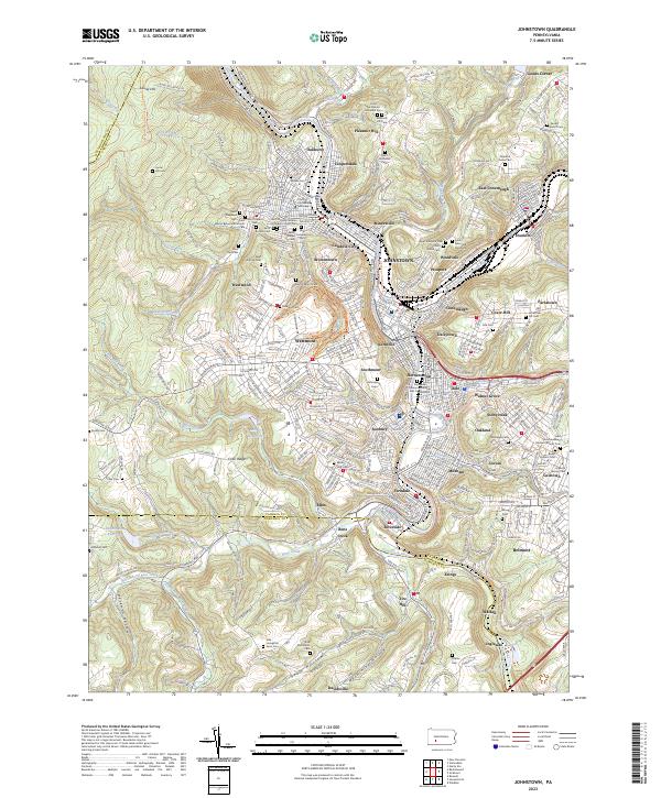
1977 Map of Johnstown
USGS Topo · Published 1979About this map
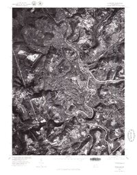
The confluence of the Conemaugh River and Stony Creek forms the core of this orthophotoquad, documenting the dense urban and industrial footprint of Johnstown in the late 1970s. This aerial perspective, captured in April 1977, reveals the complex relationship between the region's steep topography and its development patterns. While the city center occupies the narrow river valleys, residential areas like Westmont and Lorain expand onto the higher plateaus, accessible via winding roads that climb the hillsides. The imagery provides a clear view of the heavy industrial corridors and rail infrastructure that follow the water's edge through East Conemaugh. Tracing the path of Bens Creek as it feeds into the main waterway, one can see how the narrow valley floors were fully utilized for both transport and settlement in this Pennsylvania steel region.
Find a feature on this map
7 named features on this map. Tap any name to fly to it.
Don’t see what you’re looking for? This feature index may not catch every label — zoom into the map to look around manually.
Map Details
Editions of this 1977 Johnstown Map
This is the sole edition of this map. No revisions or reprints were ever made.
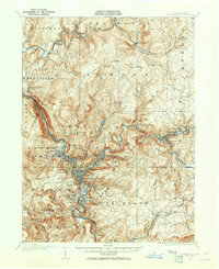
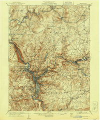
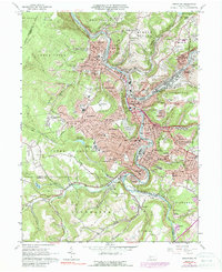
Historical Maps of Johnstown Through Time
6 maps found