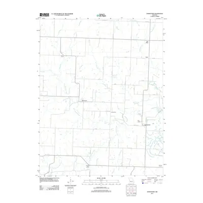
2011 Map of Johnstown
USGS Topo · Published 2011About this map
Johnstown and Germantown anchor this agricultural landscape in Henry County, Missouri, during the early 21st century. The terrain is defined by a dense network of waterways, most notably the winding course of Deepwater Creek and its many tributaries including North Deepwater Creek, South Deepwater Creek, and Antioch Creek. The map reveals a rural community where family and faith are tied to the land, evidenced by several scattered burial grounds like Poage Cemetery and Saint Ludger Cemetery.
Find a feature on this map
45 named features on this map. Tap any name to fly to it.
Don’t see what you’re looking for? This feature index may not catch every label — zoom into the map to look around manually.
Map Details
Editions of this 2011 Johnstown Map
This is the sole edition of this map. No revisions or reprints were ever made.
Other maps of this area

1887 · Clinton
USGS Topo · 1:125,000

1887 · Butler
USGS Topo · 1:125,000

1894 · Butler
USGS Topo · 1:125,000

1894 · Clinton
USGS Topo · 1:125,000

1947 · Jefferson City
USGS Topo · 1:250,000

1947 · Lawrence
USGS Topo · 1:250,000

1950 · Lawrence
USGS Topo · 1:250,000

1953 · Johnstown
USGS Topo · 1:24,000

1953 · Montrose
USGS Topo · 1:24,000

1953 · Hartwell
USGS Topo · 1:24,000