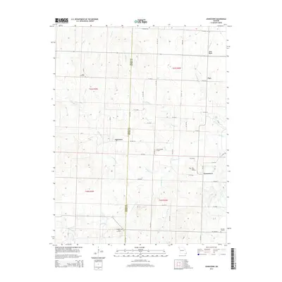
2014 Map of Johnstown
USGS Topo · Published 2014About this map
Johnstown and Germantown sit at the heart of this rural Missouri landscape, where the border of Bates Co and Henry Co divides a region defined by its branching creek systems. The geography is intricately carved by Deepwater Creek and its many tributaries, including North Deepwater Creek and South Deepwater Creek, creating a dense network of drainages that historically dictated the placement of homesteads and roads. Local history is anchored by several distinct burial grounds, such as Saint Ludger Cemetery near Germantown and the Snodgrass Union Cemetery to the west. While much of the area remains agricultural, the inclusion of Brownsberger Airport and the tiny settlements of Piper and New Piper indicates a sparse but persistent community infrastructure. The map reveals a highly structured grid of local routes, such as SW 1601 Road and SW 450th Road, which navigate around the natural meandering paths of Brushy Creek and Long Branch.
Find a feature on this map
54 named features on this map. Tap any name to fly to it.
Don’t see what you’re looking for? This feature index may not catch every label — zoom into the map to look around manually.
Map Details
Editions of this 2014 Johnstown Map
This is the sole edition of this map. No revisions or reprints were ever made.
Other maps of this area

1887 · Clinton
USGS Topo · 1:125,000

1887 · Butler
USGS Topo · 1:125,000

1894 · Butler
USGS Topo · 1:125,000

1894 · Clinton
USGS Topo · 1:125,000

1947 · Jefferson City
USGS Topo · 1:250,000

1947 · Lawrence
USGS Topo · 1:250,000

1950 · Lawrence
USGS Topo · 1:250,000

1953 · Johnstown
USGS Topo · 1:24,000

1953 · Montrose
USGS Topo · 1:24,000

1953 · Hartwell
USGS Topo · 1:24,000