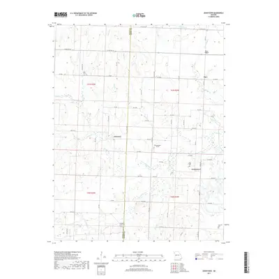
2017 Map of Johnstown
USGS Topo · Published 2017About this map
The borderlands of Bates and Henry counties are defined here by the extensive watershed of Deepwater Creek, where numerous tributaries like Granddaddy Creek and North Deepwater Creek carve through the landscape. This 2017 survey documents the rural character of the region, anchored by the historic settlements of Johnstown and Germantown. The agricultural and family history of the area is preserved in several small burial grounds, including the Saint Ludger Cemetery near Germantown and the Poage Cemetery further north. Transportation in this part of Missouri is a grid of county roads and state routes, such as State Highway D, supporting a landscape of open fields and scattered woodlots. The inclusion of Brownsberger Airport and the small communities of Piper and New Piper provides a clear view of the localized infrastructure and settlement patterns that have persisted into the 21st century.
Find a feature on this map
51 named features on this map. Tap any name to fly to it.
Don’t see what you’re looking for? This feature index may not catch every label — zoom into the map to look around manually.
Map Details
Editions of this 2017 Johnstown Map
This is the sole edition of this map. No revisions or reprints were ever made.
Other maps of this area

1887 · Clinton
USGS Topo · 1:125,000

1887 · Butler
USGS Topo · 1:125,000

1894 · Butler
USGS Topo · 1:125,000

1894 · Clinton
USGS Topo · 1:125,000

1947 · Jefferson City
USGS Topo · 1:250,000

1947 · Lawrence
USGS Topo · 1:250,000

1950 · Lawrence
USGS Topo · 1:250,000

1953 · Johnstown
USGS Topo · 1:24,000

1953 · Montrose
USGS Topo · 1:24,000

1953 · Hartwell
USGS Topo · 1:24,000