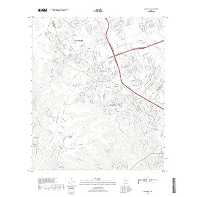
2019 Map of Jollyville
USGS Topo · Published 2019About this map
Jollyville and the surrounding suburban expansions of Northwest Austin are documented here in high detail, showing a landscape defined by the intersection of modern development and the limestone terrain of the Jollyville Plateau. The map traces the growth of Cedar Park and the neighborhood of Anderson Mill, where residential streets now densely weave between historical landmarks. Several burial grounds, including Pond Springs Cem and Jollyville Cem, remain as quiet markers of the area's older rural identity.
Find a feature on this map
315 named features on this map. Tap any name to fly to it.
Don’t see what you’re looking for? This feature index may not catch every label — zoom into the map to look around manually.
Map Details
Editions of this 2019 Jollyville Map
This is the sole edition of this map. No revisions or reprints were ever made.
Other maps of this area

1893 · Georgetown
USGS Topo · 1:125,000

1896 · Austin
USGS Topo · 1:125,000

1897 · Austin
USGS Topo · 1:125,000

1910 · Austin
USGS Topo · 1:125,000

1928 · Round Rock
USGS Topo · 1:62,500

1930 · Austin-2
USGS Topo · 1:48,000

1932 · Mt. Bonnell
USGS Topo · 1:62,500

1949 · Round Rock
USGS Topo · 1:62,500

1951 · Round Rock
USGS Topo · 1:62,500

1954 · Austin East
USGS Topo · 1:24,000