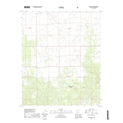
2020 Map of Jones Canyon
USGS Topo · Published 2020About this map
The high-country basins and canyons of the Apache National Forest define this 2020 landscape in Catron County. The area is characterized by a series of high-altitude lagoons and water tanks, ranging from the prominent Laguna de la Manzana and Martin Reservoir to the smaller Gasoline Lake and Laguna Verde. These water sources are critical features in this arid, elevated terrain, suggesting the area's long-standing use for livestock grazing and land management by the Forest Service.
Find a feature on this map
29 named features on this map. Tap any name to fly to it.
Don’t see what you’re looking for? This feature index may not catch every label — zoom into the map to look around manually.
Map Details
Editions of this 2020 Jones Canyon Map
This is the sole edition of this map. No revisions or reprints were ever made.
Other maps of this area

1886 · St Johns
USGS Topo · 1:250,000

1892 · St Johns
USGS Topo · 1:250,000

1915 · Reserve
USGS Topo · 1:125,000

1918 · Reserve
USGS Topo · 1:125,000

1922 · Nutrioso
USGS Topo · 1:125,000

1954 · Clifton
USGS Topo · 1:250,000

1954 · Saint Johns
USGS Topo · 1:250,000

1955 · Red Hill
USGS Topo · 1:24,000

1957 · Clifton
USGS Topo · 1:250,000

1957 · Saint Johns
USGS Topo · 1:250,000