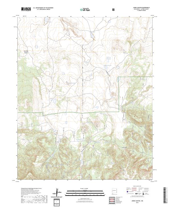
2023 Map of Jones Canyon
USGS Topo · Published 2023About this map
Escudilla Bonita sits at the northern edge of a landscape defined by seasonal water and the high timber of the Apache National Forest. This section of Catron County is characterized by a dense network of water features including Laguna Abel, Jones Lake, and Martin Reservoir, which support the livestock and wildlife of the high plateau. The topography shifts significantly near Jones Canyon and Knight Gap, where the terrain drops into more complex drainage patterns toward the south.
Find a feature on this map
33 named features on this map. Tap any name to fly to it.
Don’t see what you’re looking for? This feature index may not catch every label — zoom into the map to look around manually.
Map Details
Editions of this 2023 Jones Canyon Map
This is the sole edition of this map. No revisions or reprints were ever made.
Other maps of this area

1886 · St Johns
USGS Topo · 1:250,000

1892 · St Johns
USGS Topo · 1:250,000

1915 · Reserve
USGS Topo · 1:125,000

1918 · Reserve
USGS Topo · 1:125,000

1922 · Nutrioso
USGS Topo · 1:125,000

1954 · Clifton
USGS Topo · 1:250,000

1954 · Saint Johns
USGS Topo · 1:250,000

1955 · Red Hill
USGS Topo · 1:24,000

1957 · Clifton
USGS Topo · 1:250,000

1957 · Saint Johns
USGS Topo · 1:250,000