
1950 Map of Jones Crossroads
USGS Topo · Published 1970About this map
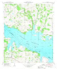
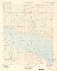
Wheeler Reservoir dominates this landscape along the border of Limestone and Morgan Counties, where the Tennessee River broadens into a complex network of inlets and islands. The 1968 photorevisions capture a period of significant industrial transition, most notably marked by the Browns Ferry Nuclear Plant (Under Const) taking shape on the northern shore. Further south, the Decatur State Docks and a Sewage Disposal Plant indicate the growing infrastructure of the era, while the Finley Island Cabin Site Area suggests the recreational use of the managed waterway.
Find a feature on this map
51 named features on this map. Tap any name to fly to it.
Don’t see what you’re looking for? This feature index may not catch every label — zoom into the map to look around manually.
Map Details
Editions of this 1950 Jones Crossroads Map
3 editions found
Other maps of this area

1888 · Huntsville
USGS Topo · 1:125,000

1892 · Huntsville
USGS Topo · 1:125,000

1935 · Athens
USGS Topo · 1:24,000

1936 · Caddo
USGS Topo · 1:24,000

1936 · Decatur
USGS Topo · 1:24,000

1936 · Stewart Cross Roads
USGS Topo · 1:24,000

1936 · Ripley
USGS Topo · 1:24,000

1936 · Trinity
USGS Topo · 1:24,000

1936 · Hillsboro
USGS Topo · 1:24,000

1936 · Tanner
USGS Topo · 1:24,000