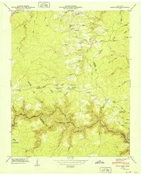
1949 Map of Jones Knob
USGS Topo · Published 1949About this map
The Tennessee Valley Divide cuts across this high-plateau landscape where Fentress, Morgan, and Cumberland counties meet. Small rural settlements like Roslin, Jonesville, and Banner Springs are connected by the Alvin C York Hwy, reflecting the region's mid-century mountain character. The terrain is defined by deep drainage systems, most notably the Clear Fork and its winding tributaries like Shoal Creek and Beetree Creek.
Find a feature on this map
59 named features on this map. Tap any name to fly to it.
Don’t see what you’re looking for? This feature index may not catch every label — zoom into the map to look around manually.
Map Details
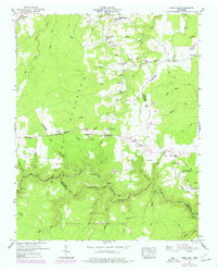
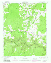
Editions of this 1949 Jones Knob Map
3 editions found
Other maps of this area

1895 · Wartburg
USGS Topo · 1:125,000

1896 · Wartburg
USGS Topo · 1:125,000

1897 · Standingstone
USGS Topo · 1:125,000

1898 · Standingstone
USGS Topo · 1:125,000

1935 · Isoline
USGS Topo · 1:24,000

1935 · Clarkrange
USGS Topo · 1:24,000

1936 · Hebbertsburg
USGS Topo · 1:24,000

1936 · Fox Creek
USGS Topo · 1:24,000

1936 · Twin Bridges
USGS Topo · 1:24,000

1936 · Jones Knob
USGS Topo · 1:24,000